Google Earth Integrates Gemini AI to Provide Insights on Floods, Droughts, and More
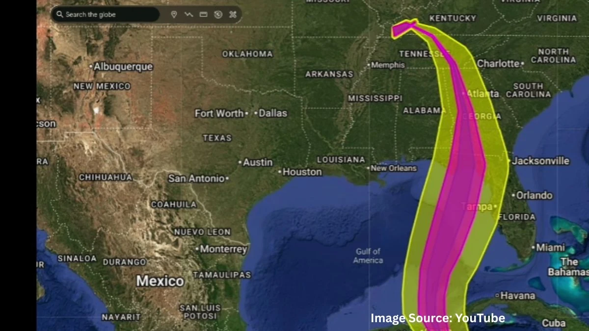
Google Earth now runs on Gemini AI to help people understand the planet in new ways. The update connects satellite images, weather data, and population maps. It turns Google Earth into a smarter tool for tracking floods, droughts, and other environmental changes.
The goal is to help communities and researchers see how climate and land conditions shift over time.
Gemini adds reasoning skills that make Google Earth feel more interactive. Users can ask direct questions about what they see. For example, they can search where a river dried up or which areas face rising heat or water stress. The AI can also find signs of algae growth in lakes or reduced vegetation after storms.
Many experts call this a big shift toward what Google calls geospatial reasoning. It connects Earth AI models that study imagery, population, and the natural environment. Analysts and public health teams can use it to forecast problems early. A region at risk for cholera or food shortage can be spotted before disaster hits.
Transforming planetary data into actionable intelligence
The tool is available first to Google Earth Professional users in the United States. Google AI Pro and Ultra users get early access too. The company says broader rollout will follow as testing continues.
Gemini links with Google Cloud for deeper Earth AI research. This helps governments, companies, and researchers work on local data. They can analyze land temperature, crop patterns, or infrastructure impact using their own maps inside Google’s platform.
This fusion of Gemini and Google Earth transforms the app from a visual globe into a decision engine. Instead of just viewing satellite images, users can detect climate risks in real time. The AI processes billions of pixels and can output insights faster than before.
Organizations already testing the system include the World Health Organization and Airbus. WHO is using it to forecast cholera spread in the Congo. Airbus uses it to spot vegetation near power lines to avoid service outages.
Google says the update aims to support faster emergency planning, better urban infrastructure work, and early response to climate-based health threats.
The move also strengthens Google’s position in environmental data science. Gemini’s grounding with Google Maps gives it access to location data from over 250 million places. This improves accuracy and lets users include place-specific details in reports.
The integration shows how AI and Earth observation can work together to answer real-world problems. It reduces guesswork and brings vital environmental insight closer to people who need it most.
For now, Gemini in Google Earth is in preview, but early testers say it feels like the start of a new chapter in AI-driven planetary understanding.
Disclaimer:
The information provided regarding Google Earth's integration with Gemini AI is based on available details and current updates. Features and availability may change as testing progresses and the broader rollout continues. For the most accurate and up-to-date information, please refer to official Google announcements and communications.


